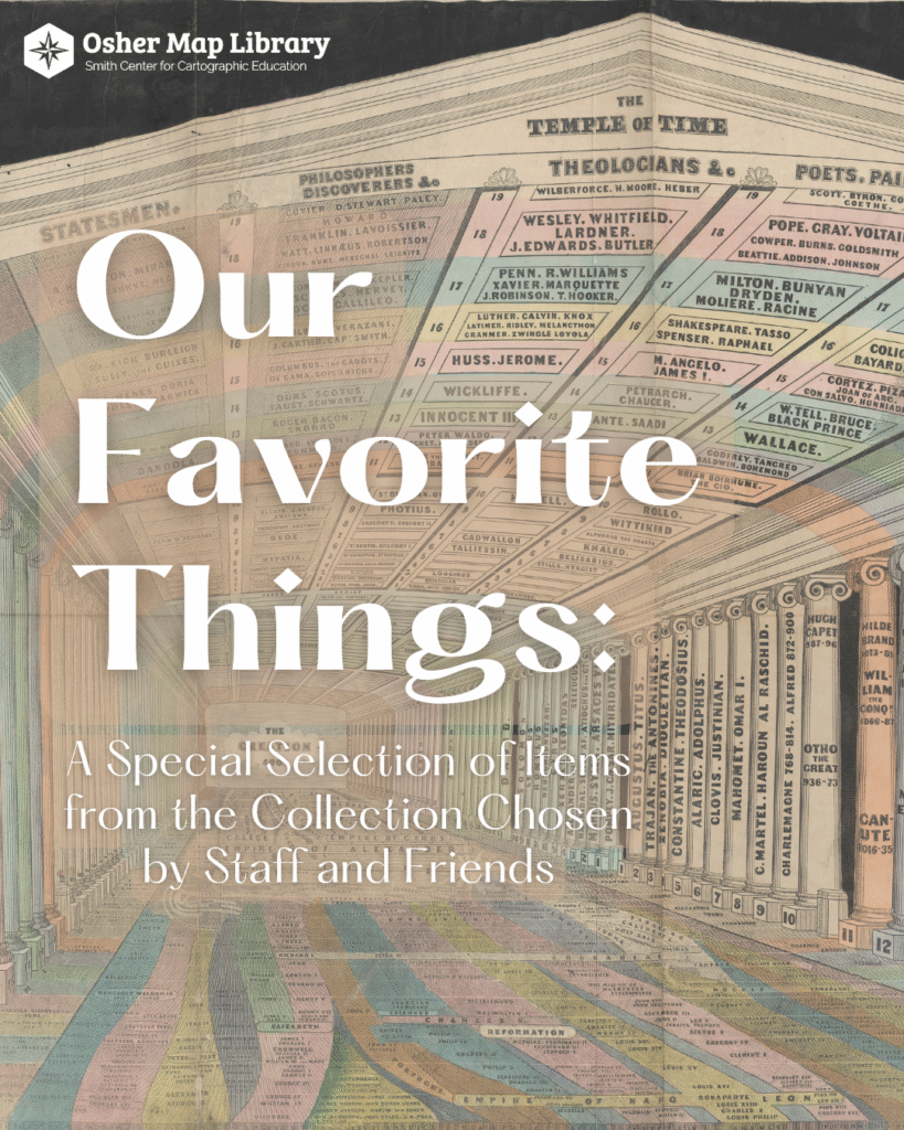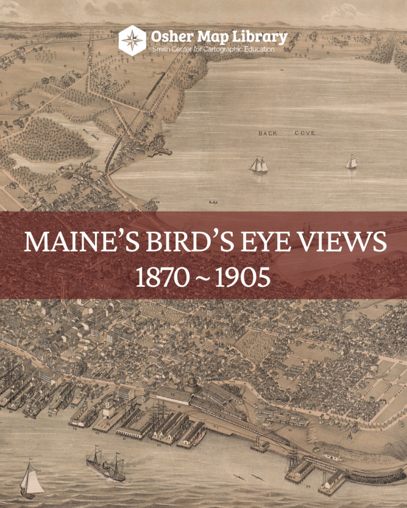
The Osher Map Library and Smith Center for Cartographic Education hosts two-to-three exhibitions per year in the Bernard and Barbro Osher Gallery. These exhibitions feature material from our collections and occasionally items on loan from other institutions. Curators for the exhibitions include OML staff and invited guest curators.
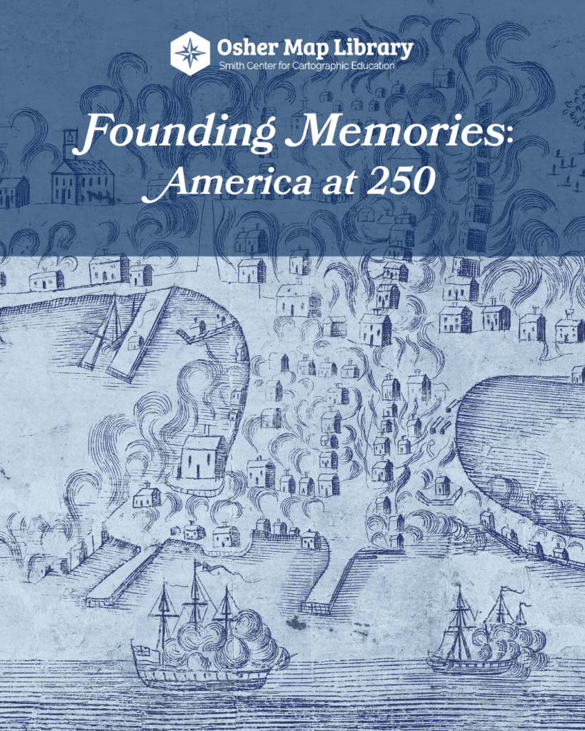
Our current exhibition, Founding Memories: America at 250, will be open through June 2026. You can view the exhibition Tuesday – Saturday when the Library is open to the public. Check out our open hours and plan your visit!
Many, though not all, of our past gallery exhibitions have digital versions. We are in the process of curating new digital exhibitions and updating these legacy versions. Check back regularly!
In addition to digital versions of past gallery exhibitions, we also host a variety of digital experiences providing more ways to interact with our collections. To interact with these experiences click on the exhibit posters and project links below.
Additionally, you can view our legacy born digital exhibitions.
ARGO is a new project led by the Leventhal Map and Education Center at the Boston Public Library and the George Washington Presidential Library at Mount Vernon. OML is proud to be a partner institution for this project and has contributed over 100 maps to the collection.
We are proud to work closely with students in many disciplines on internships and larger class projects. Click on the links below for featured student projects.