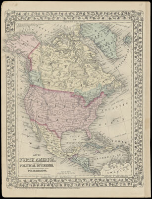
Map of North America. Showing its Political Divisions, and Recent Discoveries in the Polar Regions
Collection: Smith Collection
Name: Map of North America. Showing its Political Divisions, and Recent Discoveries in the Polar Regions
Barcode: 2251
Creator: Williams, W. (Wellington)
Printmaker: Williams, W. (Wellington)
Publisher: Mitchell, S. Augustus, Jr. (Samuel Augustus)
Publishing Location: Philadelphia
Notes: Notes: "Constructed and engraved by W. Williams, Philadelphia."
"Entered according to Act of Congress in the year 1876 by S. Augustus Mitchell in the Office of the Librarian of Congress in Washington. "
Date/Date Range Produced: 1876
Date/Date Range Published: 1876
Language: English
Dimensions: 32 x 25
LC Call Number: G3300 .M5 1876
OCLC: 180100328
Accession Number: SM-1876-14
Donor: Smith
Permenant URL: https://oshermaps.org/map/2251.0001; 2251.0002