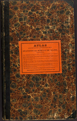
Atlas Accompanying Greenleaf's Map and Statistical Survey of Maine
Collection: Osher Collection
Name: Atlas Accompanying Greenleaf's Map and Statistical Survey of Maine
Barcode: 3564
Author: Greenleaf, Moses, 1777-1834Shirley & Hyde
Publishing Location: Philadelphia
Notes: Title from cover
The Treaty of Ghent in 1814 ended the War of 1812 between Great Britain and the United States. This atlas shows several interpretations of the boundaries of Maine and New Brunswick.
Date Produced: 1829
Date Published: 1829
Language: English
Dimensions: 34 cm
Physical Description: 1 atlas: 7 folded maps, illustrated
LC Call Number: G1215 .B5 1829
OCLC: 52568261
Accession Number: OS-1829-3
Donor: Osher
Permenant URL: https://oshermaps.org/map/3564.0001; 3564.0002; 3564.0003; 3564.0004; 3564.0005; 3564.0006; 3564.0007; 3564.0008